SIDG 2026 · Marburg
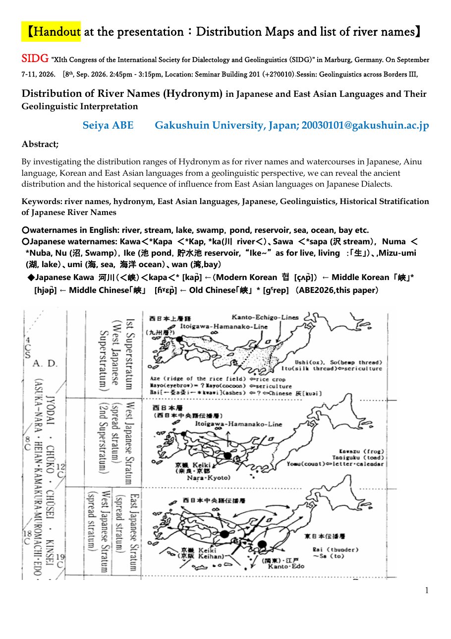
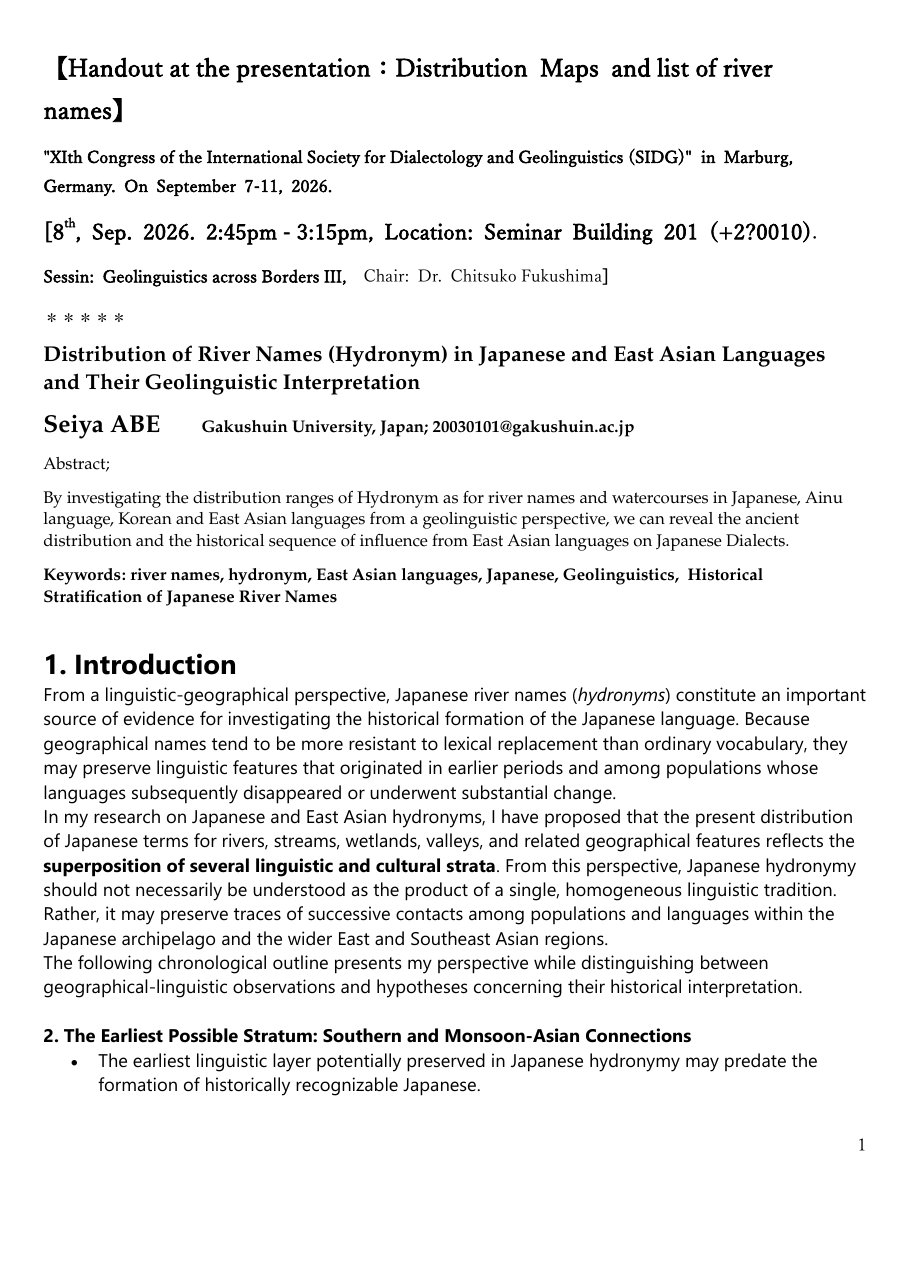
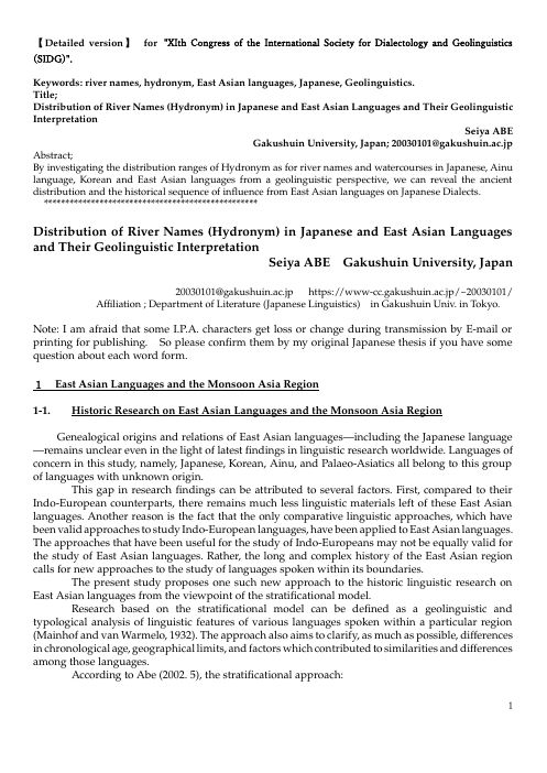
Distribution of River Names (Hydronym) in Japanese and East Asian Languages and Their Geolinguistic Interpretation
日本語および東アジア言語における河川名(水名)の分布とその地理言語学的解釈
- 2,370views
- 194video plays
- 6audio plays
- 48handout opens
- 22paper opens
Chapters
Handouts
Papers
On the “Monsoon Asia Substratum” and Altaic Superstratum in East Asia
The Classification and Division of Japanese Dialects
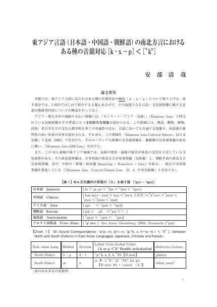
A Phonological Correspondence [k, x – p] < [*kʷ] in the North–South Dialects of East Asian Languages (Japanese, Chinese and Korean)
The Stratification of River-Terrain Terms and Its Background, Seen from the Japanese Dialect Boundaries of the Kantō Region
A Note on the Hydronyms sawa (沢) and shiga (氷): Austronesian Languages Have Watered the Archipelago Twice
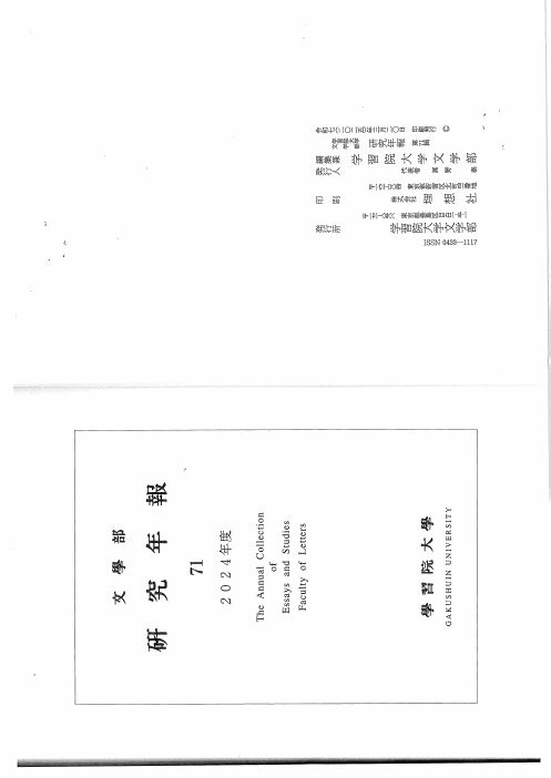
The Layered Formation of Japanese River Names and the Oldest Substratum of Monsoon Asia: What Lies Beyond Susumu Ōno's Gaze toward India
Downloads
About this talk
Session "Geolinguistics across Borders III" at the XIth Congress of the International Society for Dialectology and Geolinguistics (SIDG), Marburg, 7–11 September 2026.
River names outlive the languages of the people who first used them. This talk reads the geography of Japanese hydronyms, the forms nai, numa, tani, sawa and shiga among them, as layered evidence for the formation of Japanese and its contacts with the Korean Peninsula, continental East Asia and the southern maritime world.
The speaker on screen is a computer-generated likeness of the author, animated from his photograph, and the voice is a synthesis modelled on his own recordings, both made with his consent. The words are his manuscript, read in full.
Further reading
- 安部清哉(1998)「日本列島上の歴史と文化におけるもう一つの東西対立境界線“関東・越後線群”――『広日本-中日本対立分布』=地図集(人類学・考古学・民俗学篇)」『フェリス女学院大学文学部紀要』33: 1–31. [Another east–west boundary line in the history and culture of the Japanese archipelago: the Kantō–Echigo isogloss bundle and the Kō-Nihon / Naka-Nihon contrastive distribution.]
- 安部清哉(1999)「日本列島におけるもう一つの方言分布境界線“気候線”」『玉藻』35: 29–37. [Another dialect boundary line in the Japanese archipelago: the “climate isogloss bundle”.]
- 安部清哉(2006)「アジアと日本列島における言語・文化境界線“気候線”(摂氏0度線)――言語地理学と文化地理学から――」『学習院大学文学部研究年報』52: 39–90. [A linguistic and cultural “climatic line” (the 0 °C line) in Asia and the Japanese archipelago.]
- 安部清哉(2008)「アジアの中の日本語方言」小林隆編『シリーズ方言学1 方言の形成』123–167, 岩波書店. [Japanese dialects in Asia.]
- 安部清哉(2009)「『きつ(にはめなで)』(『伊勢物語』十四段)の日本語方言及びアジア言語の中の位置」『国文学 言語と文芸』125: 37–58, おうふう. [The place of kitsu in The Tale of Ise, chapter 14, among Japanese dialects and Asian languages.]
- 安部清哉(2013)「日本語およびアジア言語における「南北方言境界線」から見たインド・ヨーロッパ語族二大分派Centum-Satemの境界線」『東洋文化研究』15: 540–491. [The centum–satem boundary of Indo-European, seen from the north–south dialect boundary lines of Japanese and Asian languages.]
- 安部清哉(2013)「日本語の「南北型方言分布」研究のための言語地図一覧」『学習院大学文学部研究年報』60: 21–79. [A list of linguistic maps for the study of north–south dialect distributions in Japanese.]
- 安部清哉(2014)「日本語「南北型方言分布」の地理言語学的解釈」『東洋文化研究』16: 85–133. [A geolinguistic interpretation of the north–south dialect distribution in Japanese.]
- Abe, Seiya (2023). Hōgen kyōkaisen no ruikei to akusento bunpu to no sōkansei. Gakushūin Daigaku Bungakubu Kenkyū Nenpō 69: 39–81. [The correlation between the geographical typology of dialect boundaries and accent distribution in Japanese.]